No products
Prices are tax excluded
Customer Service
Products!
Payments
Within 24H/48H
Viewed products
-

D-Turbo Underspin PMC...
D-Turbo Underspin PMC ComboDaiwa...
-

Swimbait Jig 3/4 Shad...
Swimbait JigThe VMC Swimbait Jigs ad...
-
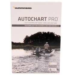
AUTOCHART PRO Electronic Chart HUMMINBIRD
Electronic ChartHumminbird AutoChart PRO for North America offers all the leading features of AutoChartbut with two key enhancements designed to give tournament anglers a competitive edge.Bottom Hardness Indication delivers a crucial tip-off to where fish are hiding by identifying areas likely to hold fish based on the hardness of the bottom.Side Imaging...
$248.99 $249.99In stock -
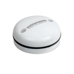
AS GPS HS Precision GPS Receiver w/Headng HUMMINBIRD
AS GPS HS Precision GPS Receiver w/HeadingPrecision GPS/WAAS receiver with Heading Sensor provides fast position fixes accurate within 2.5 meters. Provides more accurate position fixes than the industry standard GPS. The receiver's dimensions are: 3.25" diameter, 1.5" high and comes with 20' cable and has a 1"-14 thread count stem mountable with an...
$198.99 $199.99In stock -
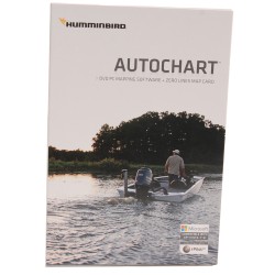
AUTOCHART Electronic Chart HUMMINBIRD
Electronic ChartHumminbird AutoChart for North America uses proprietary software that takes your Humminbirds sonar recordings and GPS to build custom lake charts. Create your own contour map on any lake in 3 simple steps:- Record sonar data after inserting a blank SD card into your Humminbird Combo.- Import your recordings into the AutoChart PC program...
$198.99 $199.99In stock -
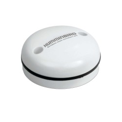
AS GRP Precision GPS Receiver HUMMINBIRD
AS GRP Precision GPS ReceiverPrecision GPS/WAAS receiver provides fast position fixes accurate within 2.5 meters. Provides more accurate position fixes than the industry standard GPS. The receiver's dimensions are: 3.25" diameter, 1.5" high and comes with 20' cable and has a 1"-14 thread count stem mountable with an optional antenna stem (antenna stem not...
$148.99 $149.99In stock -
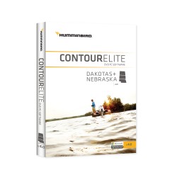
CONTOUR ELITE- DAKOTAS/NEBRASKA HUMMINBIRD
Contour EliteBring trip planning into the information age with Contour Elite. This unique software lets you access high-definition Humminbird LakeMaster lake data on your PC. Advanced features combined with a user-friendly interface to let you search by fish species, by key fishing structures or design a custom search. Whether it's a fishing report, a...
$148.99 $149.99In stock -
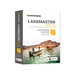
WESTERN STATES Electronic Chart HUMMINBIRD
Electronic ChartThe Humminbird LakeMaster PLUS digital GPS map card series is a family of map cards that parallels the standard Humminbird LakeMaster editions. Coverage area and lake lists remain the same and both are compatible with most Humminbird GPS models including the Onix and Ion units. PLUS has all of the features you've come to love from...
$148.99 $149.99In stock -
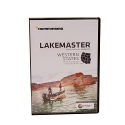
WESTERN STATES MicroSD w/adapter HUMMINBIRD
Micro SD w/AdapterThe Humminbird LakeMaster Western States Edition Version 2 Map Card combines the best fishing waters for Arizona, California, Colorado, Idaho, Montana, New Mexico, Nevada, Oregon, Utah, Washington, and Wyoming all on one micro map card with SD adapter. Version 2 brings the ground-breaking technology of "Follow the Contour" to your...
$123.99 $124.99In stock -
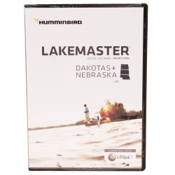
DAKOTAS/NEBRASKA MicroSD w/adapter HUMMINBIRD
Micro SD w/AdapterThe Humminbird LakeMaster Dakotas Nebraska Edition, Version 5 Map Card combines many of the best fishing waters for North Dakota, South Dakota, and Nebraska all on one map card.The Dakotas Nebraska Version 5 map card is i-Pilot Link compatible.This map card has over 345 total lakes with contours, of which more than 100 are now High...
$123.99 $124.99In stock -
WOODS/RAINY MicroSD w/adapter HUMMINBIRD
Micro SD w/AdapterThe LakeMaster Woods/Rainy Humminbird compatible Version 4 micro map card now brings the ground-breaking technology of "Follow the Contour" to your fingertips. The micro SD map card's feature, when combined with a compatible i-Pilot Link system, allows you to choose a path directly on or offset from any contour and automatically navigate...
$123.99 $124.99In stock -
AUTOCHART ZERO LINE Electronic Chart HUMMINBIRD
Electronic ChartThe Zero Line is the place where the water meets the shore. It's also the starting point for building your own maps with AutoChart. Included with the AutoChart PC software is a 32 GB map card loaded with Zero Lines for millions of water bodies in North America. With these all-important Zero Lines as your foundation, you can begin creating...
$98.99 $99.99In stock -
HotMaps Platinum North NAVIONICS
HotMaps PlatinumHotMaps Platinum gives you detailed maps of 17,000 lakes and growing with the addition of 3D Views, Panoramic Lake Photo, Top-down Satellite Imagery and exclusive 1 foot contouring on 1000 hi-definition survey lakes. Designed with the tournament angler in mind Navionics 1' contours combined with road beds, foundations, bridges, brush...
$198.00 $199.00In stock -
HotMaps Platinum South NAVIONICS
HotMaps PlatinumSpend less time searching and more time fishing! Designed with the tournament angler in mind, HotMaps Platinum reveals lake bottom composition in one foot contours plus clearly marked road beds, foundations, bridges, brush piles, culverts, creek channels, and other underwater structure. Also find detailed coastlines including docks and...
$198.00 $199.00In stock -
HotMaps Platinum East NAVIONICS
HotMaps PlatinumHotMaps Platinum EastSpend less time searching and more time fishing! Designed with the tournament angler in mind, HotMaps Platinum reveals lake bottom composition in one foot contours plus clearly marked road beds, foundations, bridges, brush piles, culverts, creek channels, and other underwater structure. Also find detailed coastlines...
$198.00 $199.00In stock -
HotMaps Platinum West NAVIONICS
HotMaps PlatinumHotMaps Platinum WestSpend less time searching and more time fishing! Designed with the tournament angler in mind, HotMaps Platinum reveals lake bottom composition in one foot contours plus clearly marked road beds, foundations, bridges, brush piles, culverts, creek channels, and other underwater structure. Also find detailed coastlines...
$198.00 $199.00In stock -
HotMaps Platinum Canada NAVIONICS
HotMaps PlatinumHotMaps Platinum CanadaSpend less time searching and more time fishing! Designed with the tournament angler in mind, HotMaps Platinum reveals lake bottom composition in one foot contours plus clearly marked road beds, foundations, bridges, brush piles, culverts, creek channels, and other underwater structure. Also find detailed coastlines...
$198.00 $199.00In stock -
Navionics+ NAVIONICS
Plus Chart PlotterNavionics+ is a powerful electronic chart solution for Navionics customers that provides greater content and access to more marine areas and lakes than other products on the market, and ensures that content remains up to date. With Navionics+, customers can select and download any amount of content from 1 of 7 extensive global regions...
$198.00 $199.00In stock -
Navionics+ World NAVIONICS
Plus Chart PlotterGet both saltwater and freshwater charts throughout the entire region chosen. Download Nautical Chart, SonarChart 1' HD bathymetry map and Community Edits along with daily updates for one year! Simply plug your card into your PC/Mac to get the most updated charts from navionics.com. Choose from: Africa & Middle East; Australia &...
$248.00 $249.00In stock -
Navionics Update NAVIONICS
UpdateNavionics Updates delivers the most convenient way to update your Navionics charts and upgrade to all the features of Navionics+. Boaters and anglers alike will enjoy the most up-to-date marine and lake charts in huge regions, 1' HD contours with SonarChart in fresh- and saltwater settings, and daily updates for 1 year. You can even use other...
$98.00 $99.00In stock -
Navionics Update World NAVIONICS
UpdateNavionics Updates allows you to upgrade to Navionics+ your Silver, Gold, HotMaps Premium, Marine & Lakes USA, or even a chart card of a different brand.Features:- The best-selling boating maps in the world for marine areas and lakes- View detailed shorelines with marinas, docks and boat ramp locations- Increase your awareness of shallow waters...
$128.00 $129.00In stock -
CONTOUR ELITE- MIDSOUTH STATES HUMMINBIRD
Contour EliteBring trip planning into the information age with Contour Elite.This unique software lets you access high definition Humminbird LakeMaster lake data on your PC.Advanced features combine with a user-friendly interface to search for fishing locations by: 1.Fish species,2.Key fishing structures or,3.Design a custom search.Whether it's a fishing...
$148.95 $149.95In stock -
CONTOUR ELITE- GREAT LAKES HUMMINBIRD
Contour EliteBring trip planning into the information age with Contour ERlite. This unique software lets you access high definition Hummingbird Lakle Master lake data on your PC. Advanced features combine with a user friendly interface to search for fishing locations by fish spiecies, key fishing structures, or design a custom search. Whether' it's a...
$148.95 $149.95In stock -
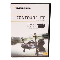
CONTOUR ELITE- GREAT PLAINS HUMMINBIRD
Contour EliteRevolutionize the way you fish.Bring trip planning into the information age with Contour Elite. This unique software lets you access high definition Humminbird LakeMaster lake data on your PC. Advanced features combine with a user-friendly interface to search for fishing locations by: 1. Fish species, 2. Key fishing structures or, 3. Design a...
$148.99 $149.99In stock -
GREAT PLAINS HUMMINBIRD
Great PlainsThe unmatched accuracy and detail of Humminbird LakeMaster give you a serious edge. Patented features include the ability to select and highlight a specific depth range, the option to shade shallow water ranging from zero to 30 feet, and the power to synchronize depth chart contours and shorelines with the current water levels of lakes,...
$123.99 $124.99In stock -
DAK/NEB PLUS HUMMINBIRD
Micro SD w/AdapterHumminbird Lakemaster +PLUS,Digital GPS Maps on Micro Card for Dakotas + NebraskaThe Dakotas + Nebraska PLUS, Version 1.0 map card has many standard and high definition lake maps for North Dakota, South Dakota and Nebraska. The PLUS series allows for aerial image overlay on high definition waters in addition to all of the Lakemaster...
$148.99 $149.99In stock -
GREAT PLAINS PLUS HUMMINBIRD
Micro SD w/AdapterThe Great Plains Plus, Version 1.0 map card has many standard and high definition lake maps for Iowa, Illinois, Kansas, Missouri and Nebraska. The Plus series allows for aerial image overlay on high definition waters in addition to all of the LakeMaster features. Now you have the ability to use quality aerial photography to view the...
$148.99 $149.99In stock -
WOODS/RAINY PLUS HUMMINBIRD
Micro SD w/AdapterThe Woods-Rainy Plus, Version 1.0 map card has partial coverage of U.S. and Canadian water for over 830,000 acres on Lake of the Woods. Includes contours for Rainy River, Rainy Lake, and the Kabetogama-Crane Lake Chains. The Plus series allows for aerial overlay on U.S. water in addition to all of the LakeMaster features. Now you have...
$148.99 $149.99In stock -
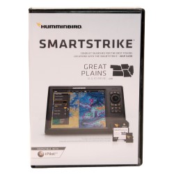
SMARTSTRIKE - GREAT PLAINS HUMMINBIRD
Smart StrikeThe intuitive, fish-finding power of SmartStrike. It's like having your own personal fishing guide with decades of experience.Humminbird SmartStrike takes you straight to the action by showing you where the fish are biting at any given moment. This powerful software program contained on the SmartStrike map card allows anglers to utilize...
$198.99 $199.99In stock -
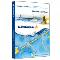
Navionics+ Caribbean & S. America NAVIONICS
Plus Chart PlotterView detailed shorelines with marinas, docks and boat ramp locations. Increase your awareness of shallow waters and hazardous areas at any depth level including shoals, rocks, wrecks and more. Consult tides and currents. Fish smarter with up to 1 foot/0.5 m HD contours, you will find the best fishing spots. Enhance your favorite areas....
$198.00 $199.00In stock -
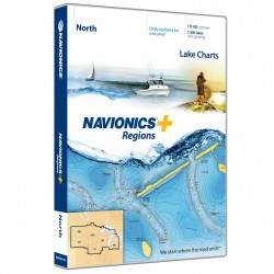
Navionics+ North NAVIONICS
Plus Chart PlotterNavionics+ is a powerful electronic chart solution providing more regional marine and lakes content than any other product on the market! Get detailed Nautical Chart, SonarChart 1' HD bathymetry map, and Community Edits plus daily updates for one year! Includes more than 7,500 lakes and growing in IA, MI, MN, ND, SD, and WI, plus all of...
$148.00 $149.00In stock -
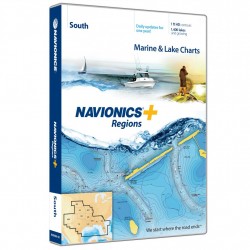
Navionics+ South NAVIONICS
Plus Chart PlotterNavionics+ is a powerful electronic chart solution providing more regional marine and lakes content than other product on the market! Get detailed Nautical Chart, SonarChart 1' HD bathymetry map, and Community Edits plus dailyupdates for one year! Includes full marine coverage out to Bimini and West End, plus more than 1,400 lakes and...
$148.00 $149.00In stock

