No products
Prices are tax excluded
Customer Service
Products!
Payments
Within 24H/48H
Categories
- Camping
- Knives and Defense
- Firearms
- Other Shooting
-
Gear and Wear
-
Holsters and Accessories
- Police/Duty/Tactical
- Handcuff and Key Holders
- Mace and Chemical Holders
- Belts and Belt Keepers
- Hunting/Sporting
- Concealment Outside Waistband
- Military
- Concealment Shoulder Harness
- Concealment Inside Waistband
- Radio, Pager and Phone Holders
- Flashlight Holders
- Concealment Pocket
- Magazine Pouches - Single
- Concealment Ankle and Leg
- Speedloader Pouches
- Magazine Pouches - Multiple
- Magazine/Flashlight Combo Holders
- Baton Holders and Accessories
- Glove Pouches
- Cowboy/Western
- Magazine/Handcuff Combo Holders
- Hunting/Sporting Nylon
- Concealment
- Suspenders and Wallets
- Backpacks
- Hearing Protectors
- Pet Products
- Cases and Bags, Specialty
- Clothing/Apparel
- Poles, Staffs and Canes
- Eyewear
- Clothing/Footwear
- Decals
-
Holsters and Accessories
-
Optics and Electronics
- Flashlights and Lighting
-
Optics
- Bases
- Rings and Accessories
- Scope Covers and Lens Shades
- Scopes and Accessories
- Binoculars and Accessories
- Bore Sighting
- Tripods, Adapters and Mounting
- Base and Ring Combos
- Care and Maintenance
- Mounting Systems
- Spotting Scope, Telescopes and Accessories
- Rangefinders
- Night Vision and Accessories
- Monoculars
- Thermal Imaging and Accessories
- Spotting Scope, Telescopes, Microscope and Accessories
- Electronics and Instruments
-
Hunting and Fishing
-
Game Calls and Locators
- Turkey, Gobblers and Misc Calls
- Turkey, Mouth Calls
- Waterfowl, Calls and Accessories
- Elk, Calls and Accessories
- Predator, Calls and Accessories
- Deer, Calls and Accessories
- Turkey, Friction/Slate Calls
- Owls, Crows and Songbirds
- Turkey, Locators
- Turkey, Box Calls
- Big Game Locators/Scanners
- Squirrel, Calls and Accessories
- Calling Equipment and Acc
- Elk and Moose, Tapes
- Decoys
- Ramps, Carriers and Vehicle Acc
- Taxidermy/Game Processing
- Feeders, Bait and Seed
- Scents
- Tree Stands
-
Fishing
- Fish Finders and Accessories
- Rod and Reel Combos
- Reels, Spinning
- Reels, Casting
- Fly Fishing Reels
- Fly Fishing Combos
- Line
- Rods, Casting
- Rods, Spinning
- Tools and Accessories
- Soft Baits
- Leaders
- Swivel and Connectors
- Lures
- Tackle Box
- Floats/Bobbers
- Hooks
- Sinkers
- Terminal
- Rigs
- Downriggers and Accessories
- Fly Fishing Rods
- Navigation and Accessories
- Boat Motors and Accessories
- Thermal Night Vision Cameras
- Jig Heads
- Tools, Pliers, Scales and Accessories
- Reels, Spincast
- Reels, Fly Fishing
- Rods, Spinning and Accessories
- Attractants and Baits
- Lures, Soft Baits
- Lures, Hard Baits
- Jig and Jig Heads
- Lures, Other
-
Game Calls and Locators
- Eating and Cooking
- Misc.
Top sellers
-

Vism Discreet Plate Carrier [Med-2Xl]-Grn NCSTAR
Discreet Plate CarrierDiscreet Plate Carrier with external pocket for...
$26.99 -

Poncho for Kids COGHLANS
Poncho for KidsLightweight and reusable poncho with attached hood. Fits...
$0.32 -

Vism Discreet Plate Carrier [M-2Xl]-Black NCSTAR
Discreet Plate CarrierDiscreet Plate Carrier with external pocket for...
$26.99
Viewed products
-

PX4/FNX/P9/40 LH Pdl...
E2 Evolution Paddle HolsterThe...
-

Blazer Parang Machete...
Blazer Parang MacheteThe Blazer...
Navionics
-
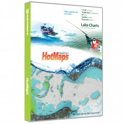
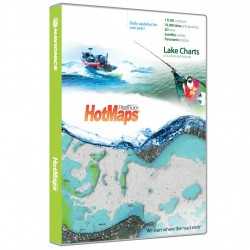
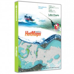
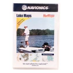
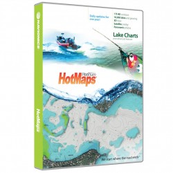
HotMaps Platinum North NAVIONICS
HotMaps PlatinumHotMaps Platinum gives you detailed maps of 17,000 lakes and growing with the addition of 3D Views, Panoramic Lake Photo, Top-down Satellite Imagery and exclusive 1 foot contouring on 1000 hi-definition survey lakes. Designed with the tournament angler in mind Navionics 1' contours combined with road beds, foundations, bridges, brush...
$198.00 $199.00In stock -
HotMaps Platinum South NAVIONICS
HotMaps PlatinumSpend less time searching and more time fishing! Designed with the tournament angler in mind, HotMaps Platinum reveals lake bottom composition in one foot contours plus clearly marked road beds, foundations, bridges, brush piles, culverts, creek channels, and other underwater structure. Also find detailed coastlines including docks and...
$198.00 $199.00In stock -
HotMaps Platinum East NAVIONICS
HotMaps PlatinumHotMaps Platinum EastSpend less time searching and more time fishing! Designed with the tournament angler in mind, HotMaps Platinum reveals lake bottom composition in one foot contours plus clearly marked road beds, foundations, bridges, brush piles, culverts, creek channels, and other underwater structure. Also find detailed coastlines...
$198.00 $199.00In stock -
HotMaps Platinum West NAVIONICS
HotMaps PlatinumHotMaps Platinum WestSpend less time searching and more time fishing! Designed with the tournament angler in mind, HotMaps Platinum reveals lake bottom composition in one foot contours plus clearly marked road beds, foundations, bridges, brush piles, culverts, creek channels, and other underwater structure. Also find detailed coastlines...
$198.00 $199.00In stock -
HotMaps Platinum Canada NAVIONICS
HotMaps PlatinumHotMaps Platinum CanadaSpend less time searching and more time fishing! Designed with the tournament angler in mind, HotMaps Platinum reveals lake bottom composition in one foot contours plus clearly marked road beds, foundations, bridges, brush piles, culverts, creek channels, and other underwater structure. Also find detailed coastlines...
$198.00 $199.00In stock -
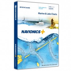
Navionics+ NAVIONICS
Plus Chart PlotterNavionics+ is a powerful electronic chart solution for Navionics customers that provides greater content and access to more marine areas and lakes than other products on the market, and ensures that content remains up to date. With Navionics+, customers can select and download any amount of content from 1 of 7 extensive global regions...
$198.00 $199.00In stock -
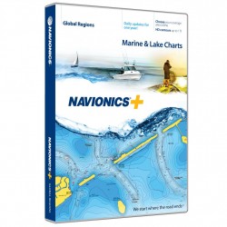
Navionics+ World NAVIONICS
Plus Chart PlotterGet both saltwater and freshwater charts throughout the entire region chosen. Download Nautical Chart, SonarChart 1' HD bathymetry map and Community Edits along with daily updates for one year! Simply plug your card into your PC/Mac to get the most updated charts from navionics.com. Choose from: Africa & Middle East; Australia &...
$248.00 $249.00In stock -
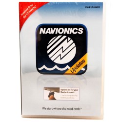
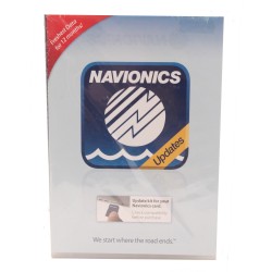
Navionics Update NAVIONICS
UpdateNavionics Updates delivers the most convenient way to update your Navionics charts and upgrade to all the features of Navionics+. Boaters and anglers alike will enjoy the most up-to-date marine and lake charts in huge regions, 1' HD contours with SonarChart in fresh- and saltwater settings, and daily updates for 1 year. You can even use other...
$98.00 $99.00In stock -
Navionics Update World NAVIONICS
UpdateNavionics Updates allows you to upgrade to Navionics+ your Silver, Gold, HotMaps Premium, Marine & Lakes USA, or even a chart card of a different brand.Features:- The best-selling boating maps in the world for marine areas and lakes- View detailed shorelines with marinas, docks and boat ramp locations- Increase your awareness of shallow waters...
$128.00 $129.00In stock -
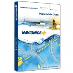
Navionics+ Caribbean & S. America NAVIONICS
Plus Chart PlotterView detailed shorelines with marinas, docks and boat ramp locations. Increase your awareness of shallow waters and hazardous areas at any depth level including shoals, rocks, wrecks and more. Consult tides and currents. Fish smarter with up to 1 foot/0.5 m HD contours, you will find the best fishing spots. Enhance your favorite areas....
$198.00 $199.00In stock -
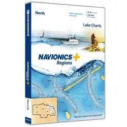
Navionics+ North NAVIONICS
Plus Chart PlotterNavionics+ is a powerful electronic chart solution providing more regional marine and lakes content than any other product on the market! Get detailed Nautical Chart, SonarChart 1' HD bathymetry map, and Community Edits plus daily updates for one year! Includes more than 7,500 lakes and growing in IA, MI, MN, ND, SD, and WI, plus all of...
$148.00 $149.00In stock -
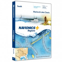
Navionics+ South NAVIONICS
Plus Chart PlotterNavionics+ is a powerful electronic chart solution providing more regional marine and lakes content than other product on the market! Get detailed Nautical Chart, SonarChart 1' HD bathymetry map, and Community Edits plus dailyupdates for one year! Includes full marine coverage out to Bimini and West End, plus more than 1,400 lakes and...
$148.00 $149.00In stock -
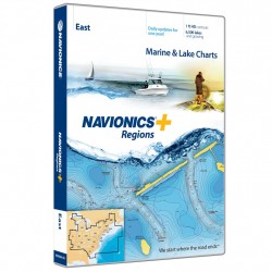
Navionics+ East NAVIONICS
Plus Chart PlotterNavionics+ is a powerful electronic chart solution providing more regional marine and lakes content than other product on the market! Get detailed Nautical Chart, SonarChart 1' HD bathymetry map, and Community Edits plus dailyupdates for one year! Includes full marine coverage and more than 6,700 lakes and growing in CT, DE, IL, IN, KY,...
$148.00 $149.00In stock -
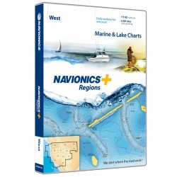
Navionics+ West NAVIONICS
Plus Chart PlotterNavionics+ is a powerful electronic chart solution providing more regional marine and lakes content than other product on the market! Get detailed Nautical Chart, SonarChart 1' HD bathymetry map, and Community Edits plus dailyupdates for one year! Includes full marine coverage and Canadian waters of Puget Sound plus more than 2,700 lakes...
$148.00 $149.00In stock -
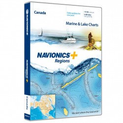
Navionics+ Canada NAVIONICS
Plus Chart PlotterNavionics+ is a powerful electronic chart solution providing more regional marine and lakes content than other product on the market! Get detailed Nautical Chart, SonarChart 1' HD bathymetry map, and Community Edits plus dailyupdates for one year! Includes full marine coverage and more than 6,200 lakes and growing in Canada and Alaska,...
$148.00 $149.00In stock

